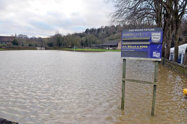
Environment Agency issues flood warnings for towns and villages across Derbyshire amid period of intense rainfall
and live on Freeview channel 276
The Environment Agency has today activated flood warnings for a number of towns and villages across Derbyshire.
Water levels in the River Derwent are forecast to rise at the Matlock river gauge as a result of persistent heavy rainfall. Consequently, flooding of roads and farmland is possible tonight and tomorrow.
Advertisement
Hide AdAdvertisement
Hide AdThe Environment Agency have warned that the areas most at risk include Darley Dale, Cromford, Matlock, Whatstandwell, Belper, Duffield, Milford, Little Eaton, and the B5057 between Darley Bridge and Two Dales Road.


Heavy rainfall is forecast to continue over the next 24 hours, and residents are urged to avoid using low-lying footpaths near local watercourses and plan driving routes to avoid low-lying roads near rivers, which may be flooded.
There is also a risk of flooding along the River Wye, with water levels predicted to increase at the Ashford river gauge due to the inclement weather.
Flooding is possible from 3.00pm onwards today, and could also occur tomorrow, with Bakewell and Ashford-in-the-Water most at risk of being impacted.
Advertisement
Hide AdAgain, residents have been warned to stay clear of low-lying footpaths and roads near waterways.
Advertisement
Hide AdFlood alerts are in place for a number of tributaries to the Rivers Noe, Derwent and Wye in North Derbyshire – including Grinds Brook, Peakshole Water, Bradwell Brook, Stoke Brook, Bar Brook, Tideswell Brook, Warney Brook, Bentley Brook, Via Gellia and Lea Brook.
A flood warning is also in place for several tributaries of the River Erewash – including Golden Brook, Beauvale Brook, Bailey Brook, Boundary Brook and Golden Stream – close to the border between Derbyshire and Nottinghamshire.
In South Derbyshire, there are concerns that flooding could occur, with water levels rising at the following waterways: Black Brook, Coppice Brook, Markeaton Brook, Chaddeston Brook, Wilne Drain, Cuttle Brook, Doles Brook, Ramsley Brook and Carr Brook.
Flooding may also impact the Bottle Brook – which runs through Denby, Coxbench and Little Eaton.
