
Exact date snow could fall again in Derbyshire as freezing conditions return after brief respite – including Chesterfield, Matlock, Belper, Alfreton, Dronfield and Bolsover
Snow is forecast to hit parts of Derbyshire again as freezing conditions return following a brief respite – with Chesterfield among the places set for another arctic blast.
Parts of the county were covered by an amber Met Office warning last Friday (January 9) after snowfall and icy conditions led to travel disruption and school closures.
Derbyshire residents may have hoped that slightly warmer weather might have signalled the end of the arctic conditions, but more snow could be set to hit the county over the next two weeks.
Netweather’s forecast indicates that temperatures will drop on Sunday, January 25 – and snow could arrive in Chesterfield, Alfreton, Belper, Bolsover and Dronfield at 6.00pm.
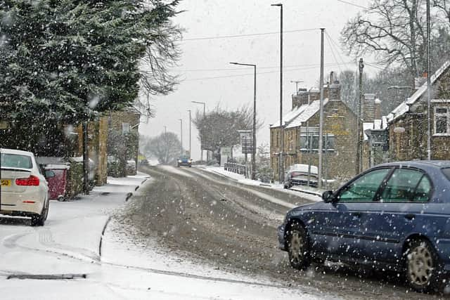

Matlock could also see a prolonged period of snowfall between 6.00pm and midnight on January 25, while snow is forecast to hit Bakewell between 3.00pm and midnight on the same day.
While cold temperatures are expected in Buxton over this period, the town currently looks set to avoid the snow that may appear in other areas of the county.
Predicting snow in the UK is a difficult task for forecasters due to factors such as sea temperature, but with cooler air seemingly heading for the East Midlands next week, it’s certainly one to keep an eye on.