Derbyshire snow: MET Office weather warning to stay in place over weekend – as more snow to fall in Peak District

Yellow weather warning for ice and snow will remain in parts of North-East Derbyshire until Sunday, with more snowfall expected in the Peak District.
Watch more of our videos on Shots! 
and live on Freeview channel 276
Visit Shots! now

The ice warning covers all areas in North East Derbyshire and additional yellow warnings for snow have been issued for Peak District and High Peak areas.

A yellow warning for ice means that ice is likely to be a hazard where snow has fallen overnight.

MET Office has warned of icy patches on untreated roads, pavements, and cycle paths and urged residents that injuries from slips and falls on icy surfaces are likely.

The ice warning covers all areas in North East Derbyshire and additional yellow warnings for snow have been issued for Peak District and High Peak areas.  Further snowfall is expected on Saturday evening into Sunday in Peak District areas including Bakewell, Matlock and Buxton.The ice warning covers all areas in North East Derbyshire and additional yellow warnings for snow have been issued for Peak District and High Peak areas.  Further snowfall is expected on Saturday evening into Sunday in Peak District areas including Bakewell, Matlock and Buxton.
The ice warning covers all areas in North East Derbyshire and additional yellow warnings for snow have been issued for Peak District and High Peak areas.  Further snowfall is expected on Saturday evening into Sunday in Peak District areas including Bakewell, Matlock and Buxton.

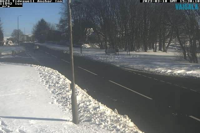
Further snowfall has the potential to cause disruption on Saturday evening into Sunday in Peak District areas including Bakewell, Matlock and Buxton.

MET Office has warned of possible travel delays on roads stranding some vehicles and passengers, impassable pavements and cycle paths and a chance of injuries from slips and falls on icy surfaces.