

The figures relate to deaths occurring between March 1 2020 and April 17 2020 and registered by April 18 2020.
Deaths were coronavirus was the underlying cause or was mentioned on the death certificate as a contributory factor have been divided into postcode areas based on each patient’s home address. To see the full searchable map, click here.
All images are illustrative and do not denote exact locations.
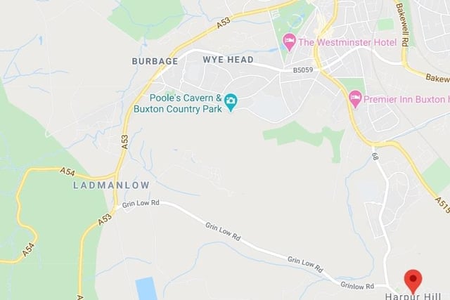
1. Coronavirus cases by postcode
Buxton Burbage and Harpur Hill - one death (includes Leek Road, Harpur Hill Road, Temple Road) Photo: Google
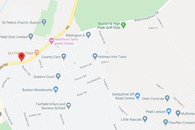
2. Coronavirus cases by postcode
Buxton South and East - one death (includes Heath Grove, part of Fairfield and part of town centre) Photo: UGC
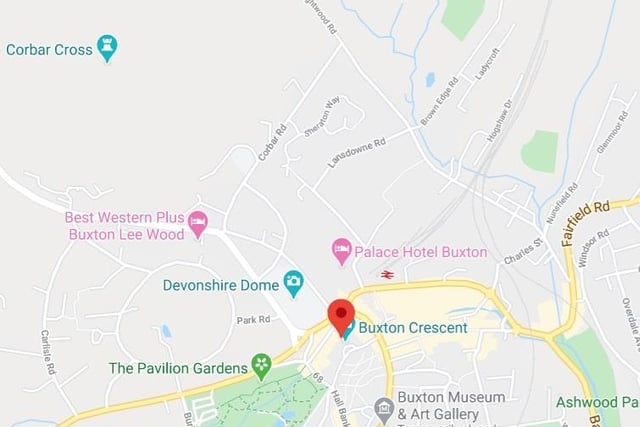
3. Coronavirus cases by postcode
Buxton North - 7 confirmed deaths (includes parts of town centre, part of Fairfield, Park Road area, Brown Edge). Photo: UGC
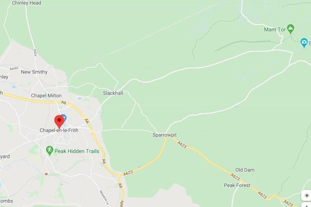
4. Coronavirus cases by postcode
Chapel-en-le-Frith and Hope Valley - six deaths (includes Dove Holes, Peak Dale, Castleton, Hope) Photo: UGC